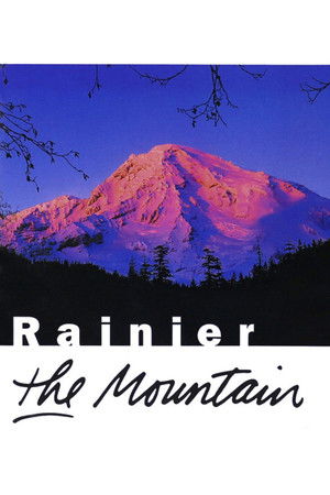
In this retrospective tribute, acclaimed filmmaker Jean Walkinshaw hails the 100th anniversary of Mount Rainier National Park in Washington by talking to those who know it best: the scientists, naturalists, mountain climbers and artists whose lives have been touched by the peak's far-reaching shadow. The result is a harmonious blend of archival material and high-definition footage celebrating an icon of the Pacific Northwest.
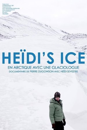
Heïdi's Ice
Presents a geographic overview of the Rocky Mountain region. Discusses the significant role that this region of natural resources has played in the development of the continent
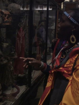
Decolonising the Curatorial Process is a forty-minute documentary which explores decolonial strategies in an academic and curatorial context. The film features academics, activists and practitioners, and contains case studies of institutions that are deploying critical, self-reflective forms of curatorial practice. The Museum of London Docklands exhibition on slavery and the sugar industry is examined as an example of how an institution can decolonise the curatorial process, utilise the work of artists in a museum context, and critically examine East London's imperial history. The Pitt Rivers museum in Oxford, who are working with Maasai activists from Kenya and Tanzania on a project centred on repatriating the museum's collection of sacred Maasai artefacts, also features in the film.
This documentary shows the characteristics and location of major plains and plateaus of North America, and discusses some of the ways in which they have affected man's use of the land.
E Se Chover Amanhã?
Short Belgian documentary on volcanos in the former Belgian Congo
Face of the Earth explores the origin of our planet's outer layer, the why-and-how of its mobility. Through the use of well-designed diagrams, the earth's cyclical activity is clearly explained. Some unusual footage on volcanoes gives added punch to an already absorbing subject.
Explores the distinctive features of the major rivers of the continent, and discusses their contributions to the farming, recreation, transportation and hydroelectric power of North America.
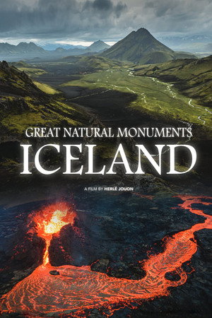
The fascinating landscape formations of Iceland in the North Atlantic bear witness to the beauty and primal power of nature. They were created through the interaction of powerful volcanic, geological and biological processes that have been changing the face of the earth for billions of years. This is what the Earth might have looked like four billion years ago. Iceland is the realm of ice and fire. Nowhere else is there such a high density of volcanoes. The landscapes, which are continually reshaped by eruptions, make the island a natural laboratory full of clues about the formation and development of the earth. The documentary follows a group of scientists through the most active areas of Iceland, along a mountain range that has emerged from the ocean. On the slopes of the volcanoes, in the fog of the fumaroles and on streams and rivers, the three researchers explore how the first forms of life populated the earth's surface and in what evolutionary steps they took over the earth.
Echoes from the Tian Shan
Země jihu – Vietnam
It shows the Neretva river from its source to the shores of the Adriatic Sea. The document also captures the original four-hundred-year-old bridge in Mostar.
Od severu k jihu
Před velkými dešti
Physical features such as gulf, peninsula, island, etc, are defined and basic principles of using colors to show elevation are illustrated with models.
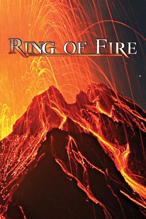
Ring of Fire is about the immense natural force of the great circle of volcanoes and seismic activity that rings the Pacific Ocean and the varied people and cultures who coexist with them. Spectacular volcanic eruptions are featured, including Mount St. Helens, Navidad in Chile, Sakurajima in Japan, and Mount Merapi in Indonesia.
Through animation, maps of the same scale and projection are combined to show relationships between natural features of the earth, human use, and social and political features. Projects different kinds of animated maps of the same scale and explains how the maps are used in gaining an understanding of the relationships between the social, political, and natural features of the earth.
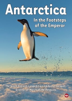
Gombessa Expedition 3 Protected by an international treaty Antarctica has been spared the effects of hunting and fishing. But signs in ice’s cyclical patterns and its biodiversity have become worrying. Connected to the planet’s global ecosystem via atmospheric circulation and ocean currents, this white haven is suffering the effects of human activities. To document and explain what is unfolding in Antarctica, photographer, diver, and marine biologist Laurent Ballesta and photographer of extreme environments Vincent Munier will be blending their artistic perspectives of a rapidly changing continent. Laurent will tackle technical and human prowess below the ice to bear witness to its remarkable underwater life. His photographs will advance knowledge on Antarctica’s unique and little-known biodiversity. On land, his eye riveted to the lens of his camera, Vincent captures snapshots of life in an Emperor Penguin colony.
Uses animation, wave tank, live-action photography, and underwater models to show how waves develop, how coastlines are shaped, and to describe the forces that change the sea bottom.